
Mountains Rivers Chart Map Historic Map 1823 Darton & Gardner World Map Old World Style Map Fine Art Map HouseWarming Gift Rock Climbing art
$12.41 $17.00
Mountains Rivers Chart Map Historic Map 1823 Darton & Gardner World Map Old World Style Map Fine Art Map HouseWarming Gift Rock Climbing art
◆ D E S C R I P T I O N
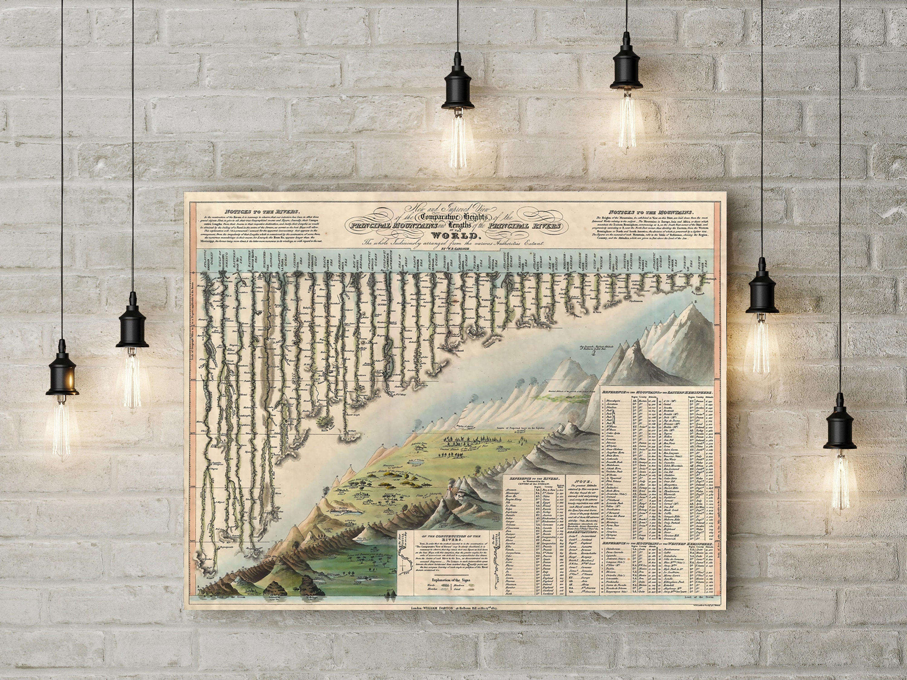
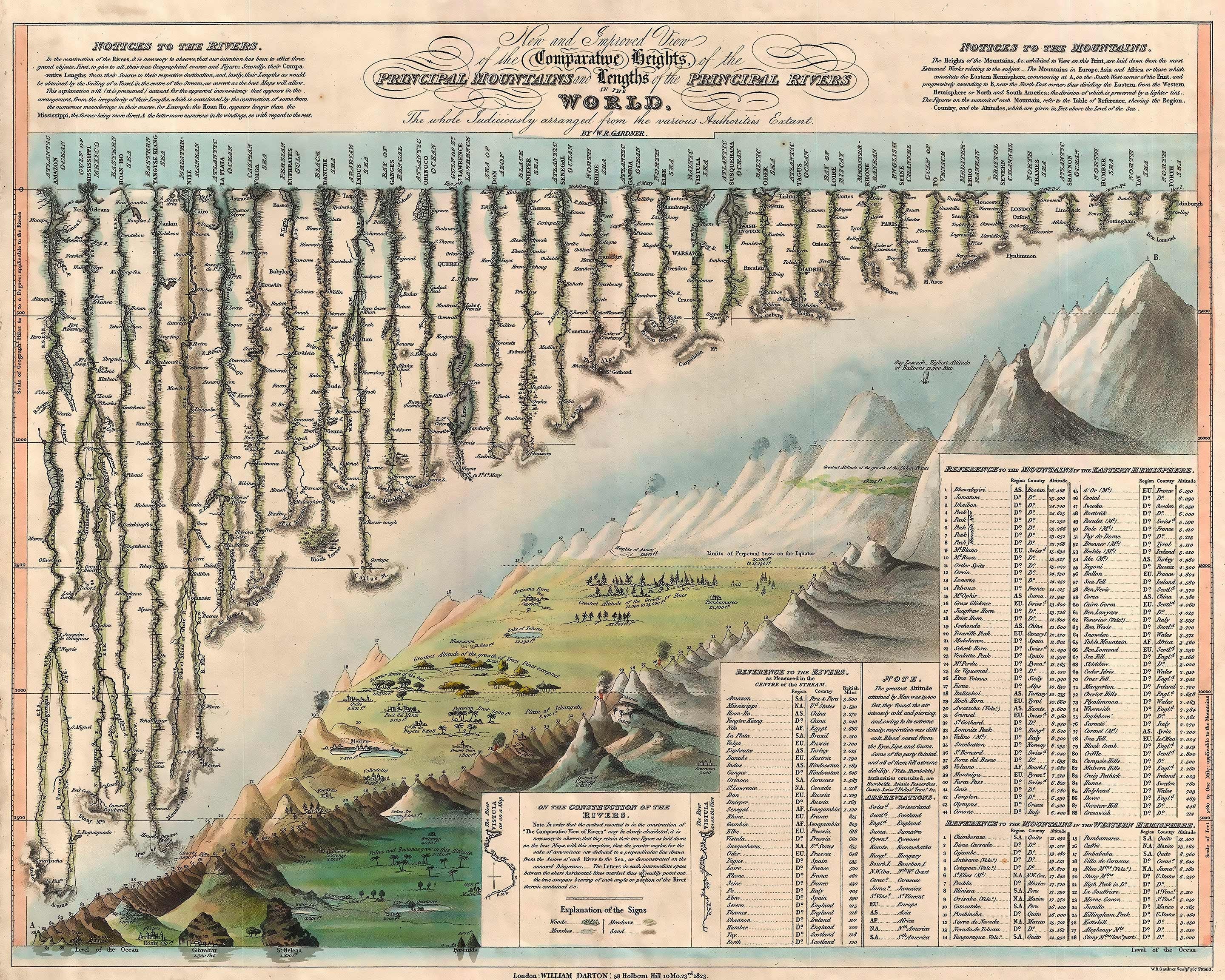
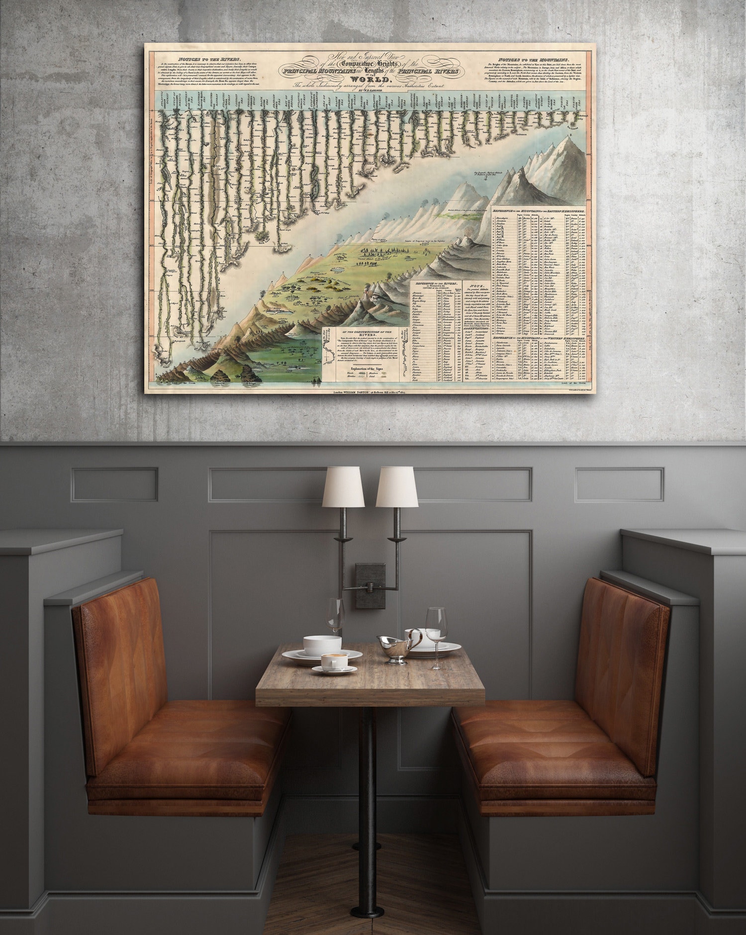
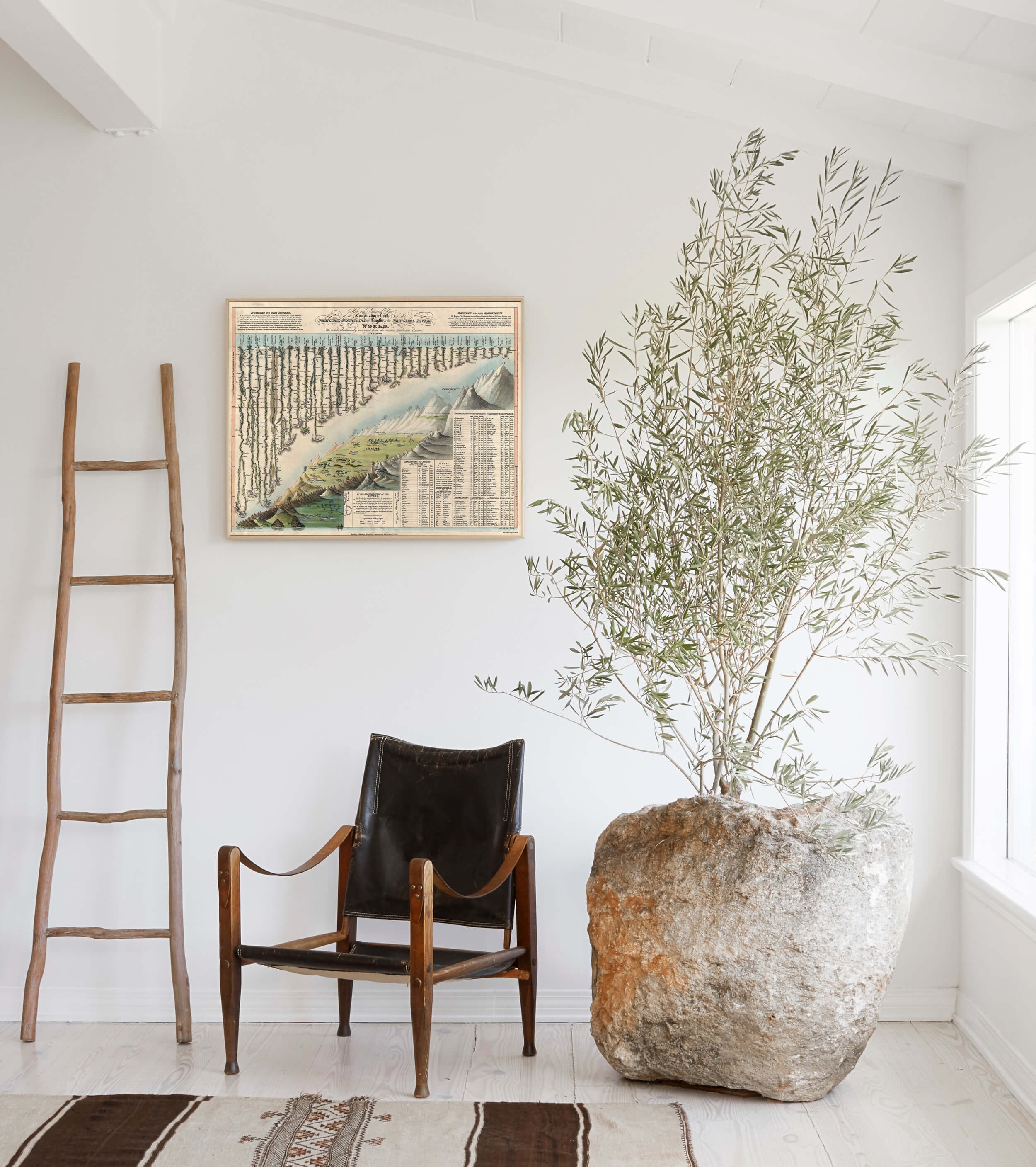
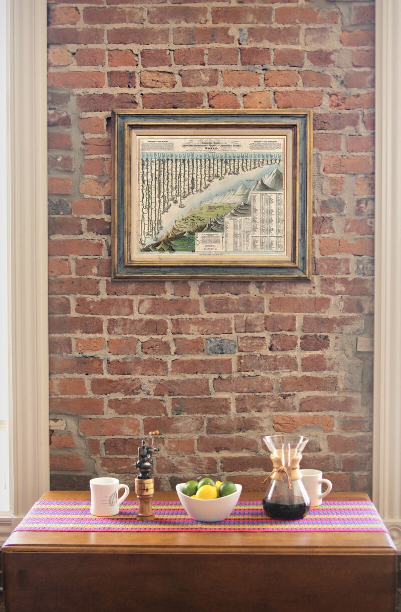
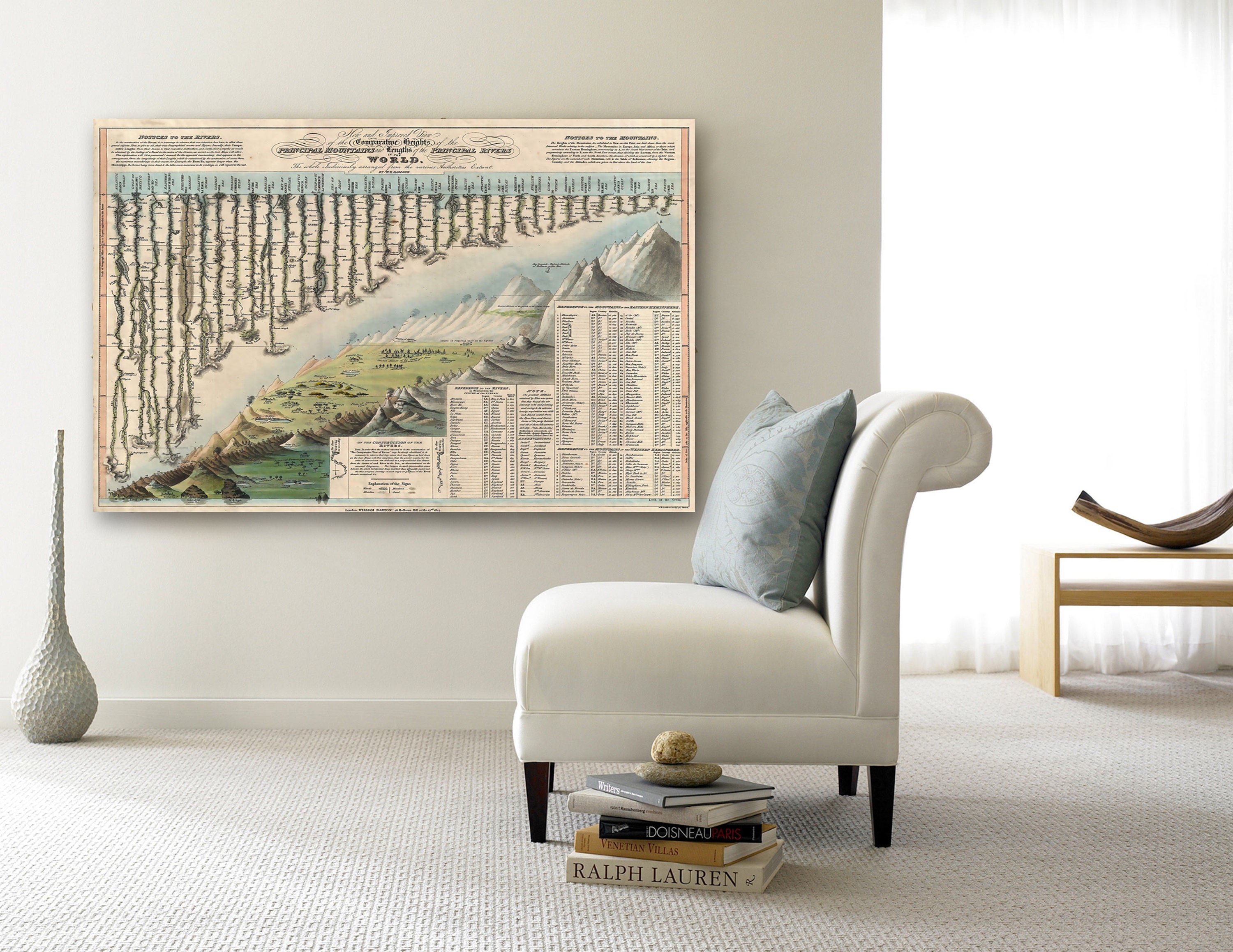
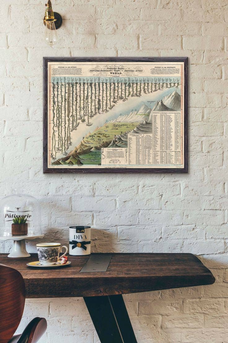
This Is A Giant Highly Detailed Historic 1823 Darton & Gardner Comparative Chart Map Of The World's Mountains And Rivers
The comparative mountains section, occupying the lower right half of this chart, details the principle mountains of the world. Ranges are color coded to show different types of vegetation. The elevations of a number of important cities including Paris, Rome, London, Geneva, Mexico, Bogota, and Quito, among others, are noted. There are also extensive notations on vegetation and volcanic activity . Even the ballooning feat of Gay-Lussac who attained an altitude of 7000 meters in 1808 is noted
The upper left portion of this chart is dominated by the world's greatest rivers All along each river important lakes, cities, directions, and distance measurements are noted. Here the Amazon is identified as the world's greatest river at some 3600 miles
we cary lots of vintage maps and if we don't have what you need chances are we can find it. Just drop us a message to let us know what you need.
◆ NEED A CUSTOM SIZE ?!?! Send us a message and we can create you one!
◆ S I Z E
11" x 14" / 28 x 36cm
16" x 20" / 40 x 50 cm
18" x 24" / 45 x 61 cm
24" x 30"/ 61" x 76"cm
30" x 40" / 76 x 101 cm
34" x 43" / 86x 109 cm
42" x 53" / 107 x 135 cm
*You can choose Your preferred size in listing size menu
◆ P A P E R
Archival quality Ultrasmooth fine art matte paper 250gsm
◆ I N K
Giclee print with Epson Ultrachrome inks that will last up to 108 years indoors
◆ B O R D E R
All our prints are without border. But if You need one for framing just drop us a message
◆FRAMING: NONE of our prints come framed, stretched or mounted. Frames can be purchased through a couple of on line wholesalers:
PictureFrames.com
framespec.com
When ordering a frame make sure you order it UN-assembled otherwise you could get dinged with an over sized shipping charge depending on the size frame. Assembling a frame is very easy and takes no more than 5-10 minutes and some glue. We recommend purchasing glass or plexi from your local hardware store or at a frame shop.
◆ S H I P P I N G
Print is shipped in a strong tube for secure shipping and it will be shipped as a priority mail for fast delivery.
All International buyers are responsible for any duties & taxes that may be charged per country.
Shipping from United States
Processing time
1-2 business days
Customs and import taxes
Buyers are responsible for any customs and import taxes that may apply. I'm not responsible for delays due to customs.
Payment Options
Returns & Exchanges
Returns & exchanges accepted within 30 days
Buyers are responsible for return shipping costs. If the item is not returned in its original condition, the buyer is responsible for any loss in value.
I gladly accept returns, exchanges, and cancellations
Request a cancellation within: 0 hours of purchase
The following items can't be returned or exchanged
Because of the nature of these items, unless they arrive damaged or defective, I can't accept returns for:
- Custom or personalized orders
- Perishable products (like food or flowers)
- Digital downloads
- Intimate items (for health/hygiene reasons)
- Items on sale
Questions about your order?
Please contact me if you have any problems with your order.
Reviews (9)
Average:
May 5, 2026
Nice quality! Looking forward to hanging in my home
Andie
Jul 28, 2023
This was a really nice print that shipped super quickly. I love the map key. I can slightly see the printing lines but they add character.
K.O.
Aug 27, 2019
jdrbailet
Mar 4, 2019
Arrived earlier than expected, packaged very carefully to avoid damage and in pristine condition. Beautiful to look at, and a good size to have chosen (A3 poster size) to be able to read all the information easily. Bought as a present for my partner, he looks forward to finding it a spot on the wall.
Bethia
Jan 7, 2019
beautiful and just as described!
Libby Rodenbough