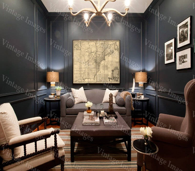
Giant Historic 1757 wall Map of British French Colonial map North America OLD map of New England Coast Restoration Decor Style map Print
$78.00 $104.00
Giant Historic 1757 wall Map of British French Colonial map North America OLD map of New England Coast Restoration Decor Style map Print
This Print Measures 43"X 61" (109cm X155cm)
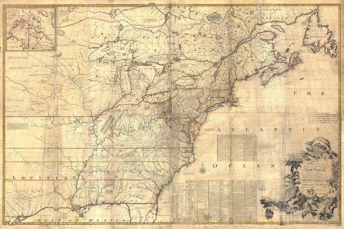
This Is A Giant Highly Detailed Map Of
the British and French dominions in North America, with the roads, distances, limits, and extent of the settlements, humbly inscribed to the Right Honourable the Earl of Halifax, and the other Right Honourable the Lords Commissioners for Trade & Plantations,
Circa 1757
A Colonial Era Map
By
Mitchell, John, 1711-1768
This Print Measures 43"X 61" (109cm X155cm)
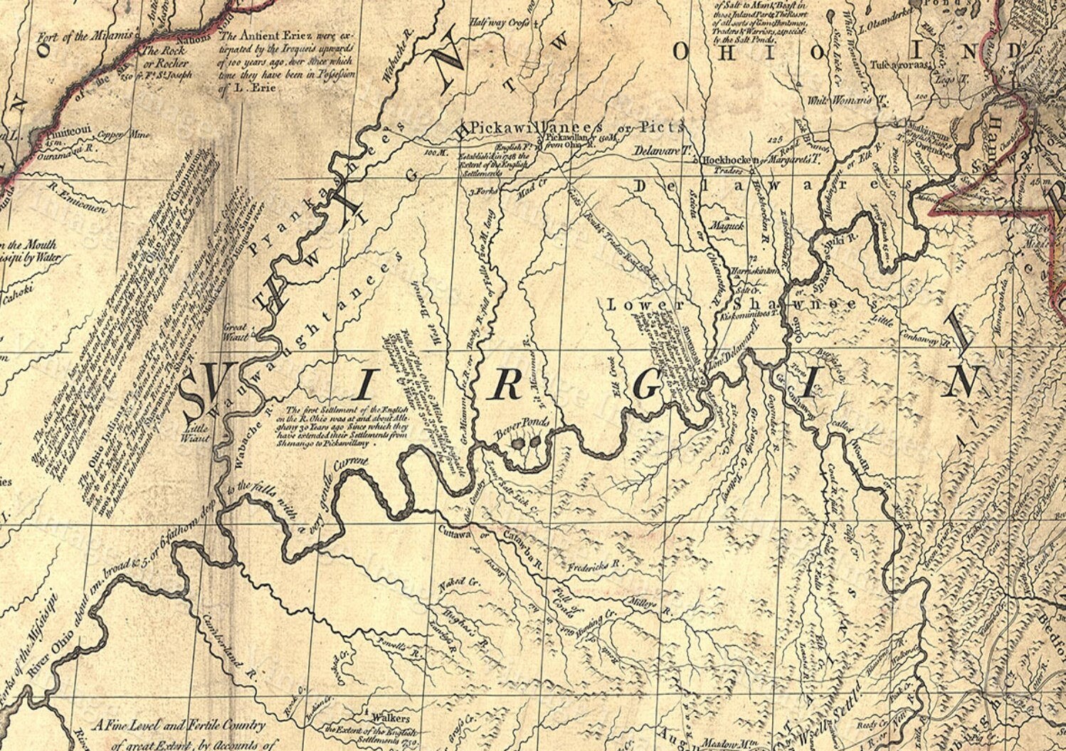
THIS MAP HAS GREAT DETAIL SEE PHOTOS
THIS WILL PRINTED ON SMOOTH FINE ART WATERCOLOR PAPER
This Fine Art Print has been reproduced from the original source .
using UltraChrome K3 Inks which are rated up to 125+ years
not cheap inks that will fade in 3 months
This map will include a border of white for framing and Matting purposes which can be trimmed off if needed (not included in the size)
very suitable for framing
Interior shots are for representation only your map may or may not be similar in size
PERFECT FOR YOUR HOME OR OFFICE
Thank you for looking.
Truly a rare find
PLEASE FEEL FREE TO ASK QUESTIONS. THANKS.
Shipping from United States
Processing time
1-2 business days
Customs and import taxes
Buyers are responsible for any customs and import taxes that may apply. I'm not responsible for delays due to customs.
Payment Options
Returns & Exchanges
I gladly accept returns, exchanges, and cancellations
Just contact me within: 14 days of delivery
Ship items back to me within: 30 days of delivery
Questions about your order?
Please contact me if you have any problems with your order.
Reviews (4)
Average:
Nov 11, 2023
Beautiful, great quality. Exactly as pictured. Will upload a photo when we have it framed.
Jan 29, 2022
Jan 25, 2022
Surpassed my expectations. Thank you!
Apr 22, 2019
