Old map of South Pole Print - Antarctica map Poster, Historic South Pole Map Antique Restoration decor Style Antarctica Large wall Map


$12.75 $17.00
Old map of South Pole - Antarctica map, Historic South Pole Map Antique Restoration decor Style Antarctica wall Map Fine Art Print Poster
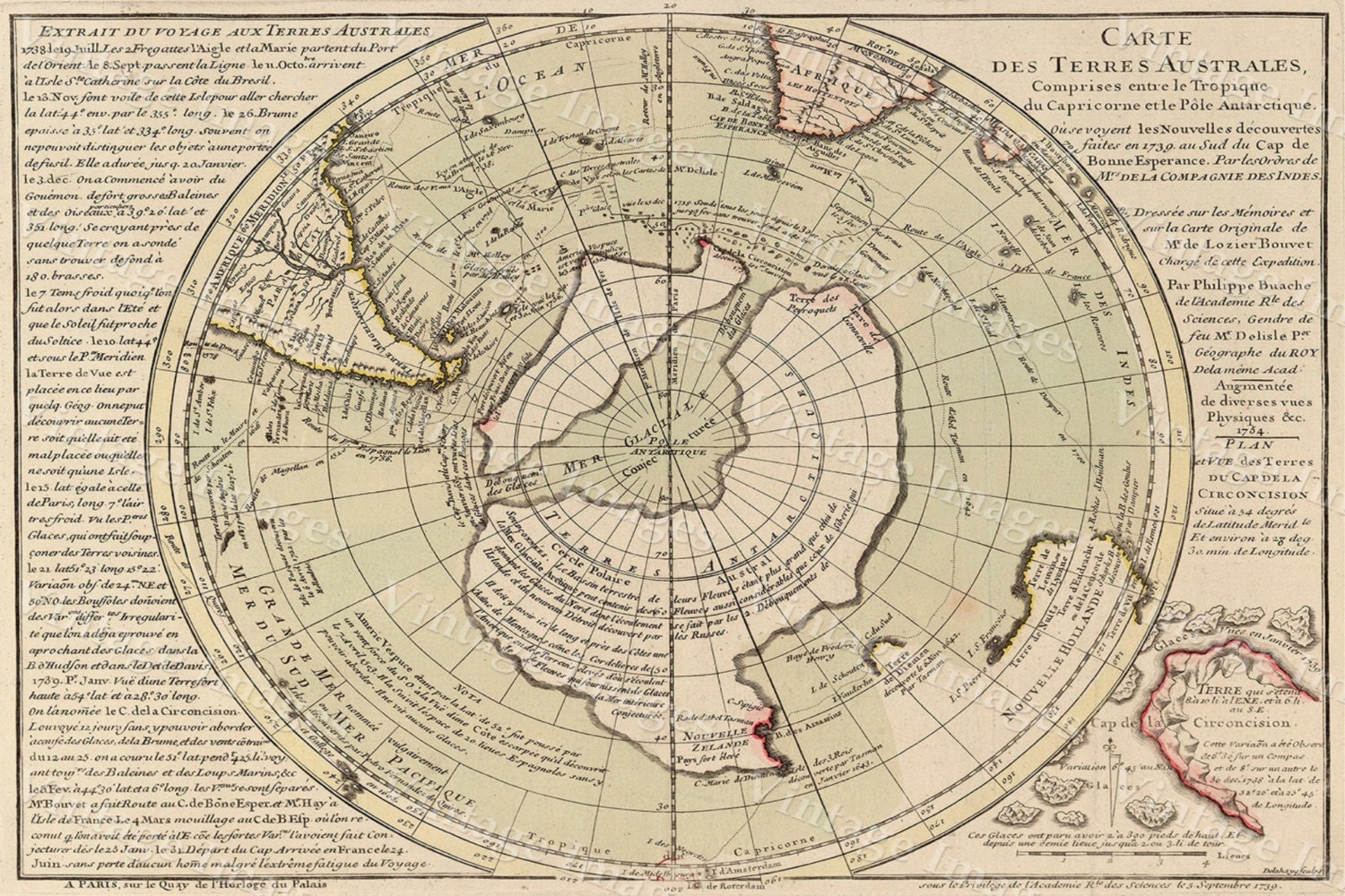
This Is A Highly Detailed Map of Antarctica
Circa 1754
This is a Map from the expedition of Jean-Baptiste Bouvet de Lozier, during which he discovered Bouvet Island in 1739. This map is an improved second edition (published in 1754?)
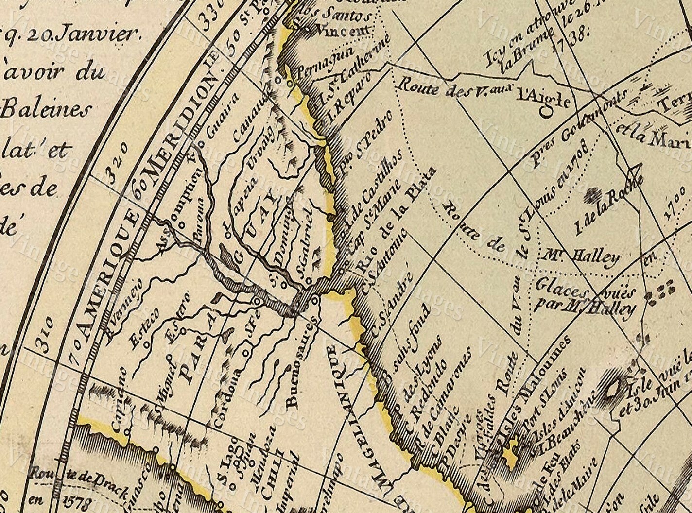
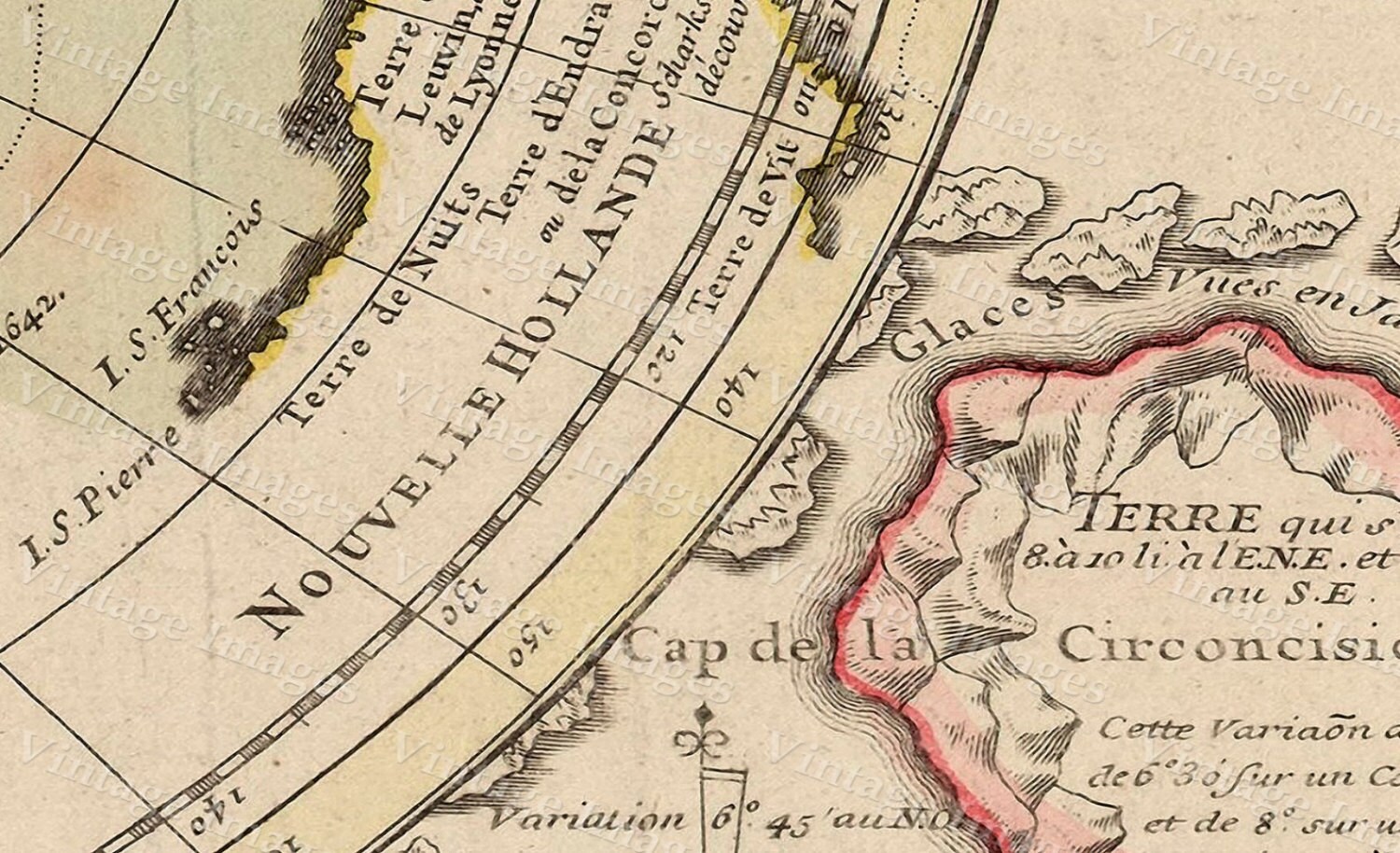
This Map Has Great Detail see sample photo
This map
will be
Printed on
Smooth Heavy Weight Fine Art Paper
This Fine Art Print has been reproduced from the original source .
using UltraChrome K3 Inks which are rated up to 125+ years
not cheap inks that will fade in 3 months
very suitable for framing
PERFECT FOR YOUR HOME OR OFFICE
Thank you for looking.
Truly a rare find
PLEASE FEEL FREE TO ASK QUESTIONS. THANKS.
Shipping from United States
Processing time
1-2 business days
Customs and import taxes
Buyers are responsible for any customs and import taxes that may apply. I'm not responsible for delays due to customs.
Payment Options
Returns & Exchanges
I gladly accept returns, exchanges, and cancellations
Just contact me within: 14 days of delivery
Ship items back to me within: 30 days of delivery
Questions about your order?
Please contact me if you have any problems with your order.
Reviews (10)
Average:
Dec 27, 2022
Map was perfect! Quality was great and it was exactly what I was looking for. Gave it as a gift for Christmas, and they absolutely loved it. Seller was wonderful and attentive. They went above and beyond. Would definitely purchase from again.
May 8, 2022
Great map and seller person.
Jun 13, 2021
Just as described. Quick ship. Packaged Well.
Sep 15, 2020
The map is a nice material. My dad is a big map buff and he liked it a lot. It's very aesthetically pleasing.
Jul 27, 2019
On time, great quality, extra item. I will be checking there shop back soon for future purchases. Thank You
