
Map of San Francisco Bay 1850 vintage California Nautical Chart Wall Map Restoration style map coastal decor map Large Map
$14.19 $19.44
Map of San Francisco Bay 1850 vintage California Nautical Chart Wall Map Restoration style map coastal decor map Large Map
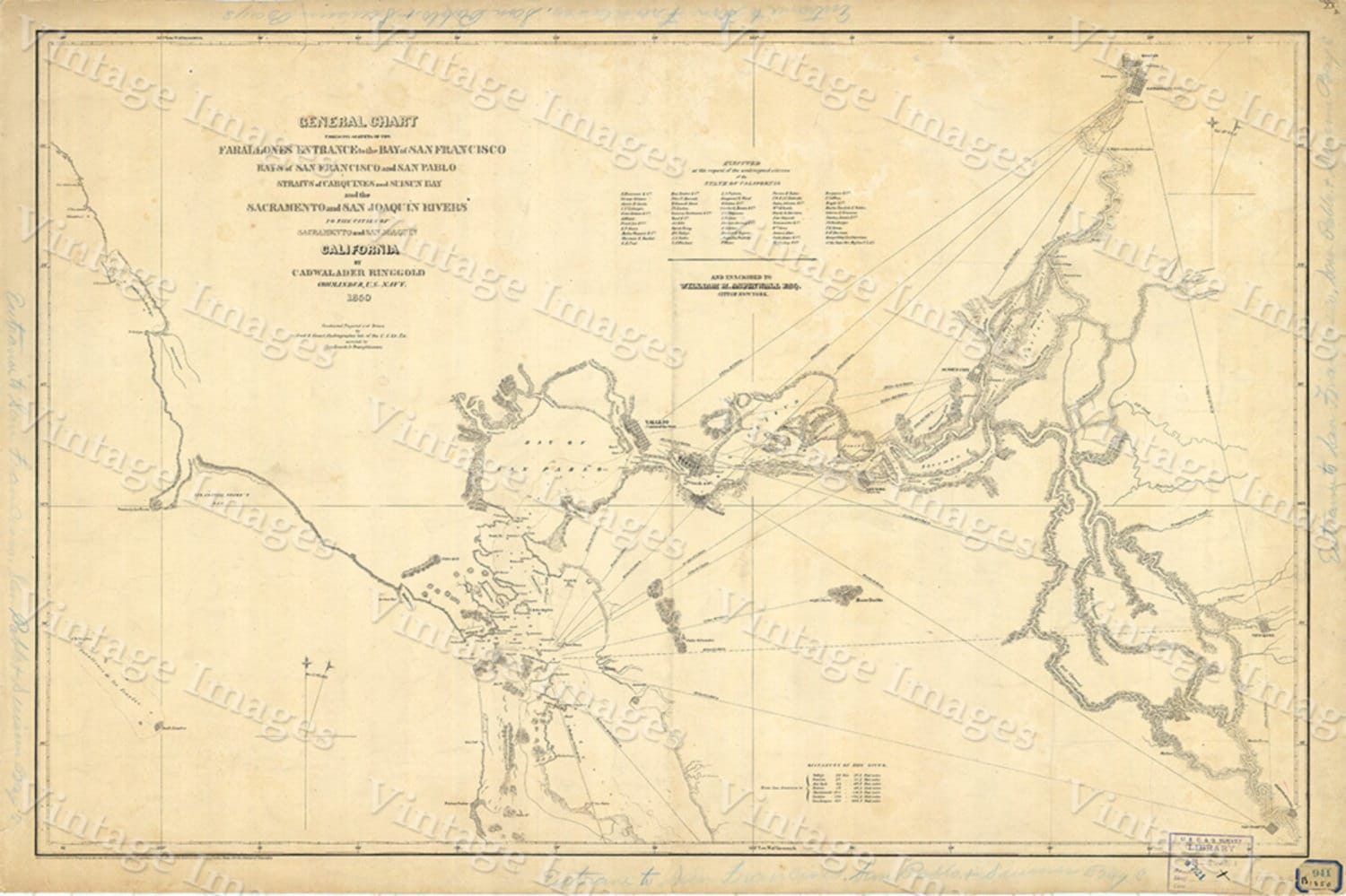
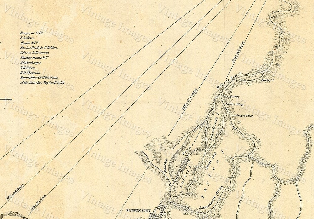
This Is a Highly Detailed California nautical chart of the San Francisco bay area
extending up river to the cities of Sacramento, San Joaquin
Created by Cadwalader Ringgold in 1850
This Map Has Great Detail See Photos
THIS WILL PRINTED ON SMOOTH FINE ART WATERCOLOR PAPER
This Fine Art Print has been reproduced from the original source .
using UltraChrome K3 Inks which are rated up to 125+ years
not cheap inks that will fade in 3 months
This map will include a border of white for framing and Matting purposes which can be trimmed off if needed (not included in the size)
very suitable for framing
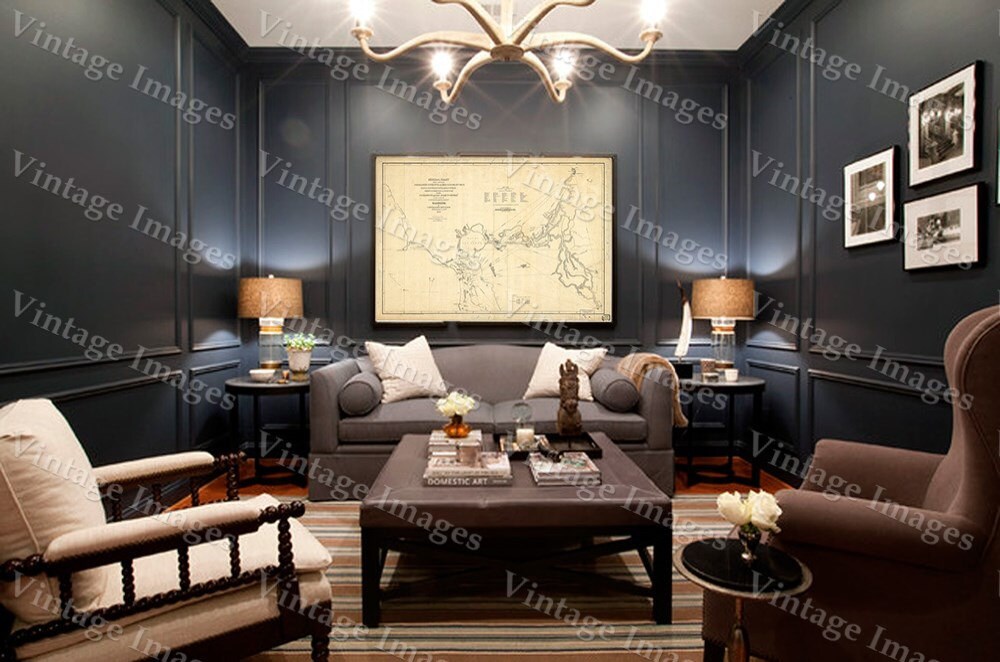
Interior shots are for representation only your map may or may not be similar in size
PERFECT FOR YOUR HOME OR OFFICE
Thank you for looking.
Truly a rare find
Shipping from United States
Processing time
1-2 business days
Customs and import taxes
Buyers are responsible for any customs and import taxes that may apply. I'm not responsible for delays due to customs.
Payment Options
Returns & Exchanges
Returns & exchanges accepted within 30 days
Buyers are responsible for return shipping costs. If the item is not returned in its original condition, the buyer is responsible for any loss in value.
I gladly accept returns, exchanges, and cancellations
Request a cancellation within: 0 hours of purchase
The following items can't be returned or exchanged
Because of the nature of these items, unless they arrive damaged or defective, I can't accept returns for:
- Custom or personalized orders
- Perishable products (like food or flowers)
- Digital downloads
- Intimate items (for health/hygiene reasons)
- Items on sale
Questions about your order?
Please contact me if you have any problems with your order.